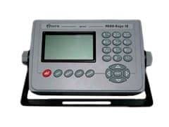
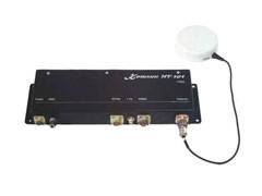
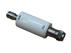
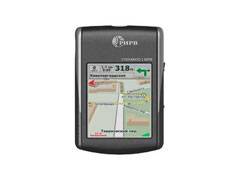
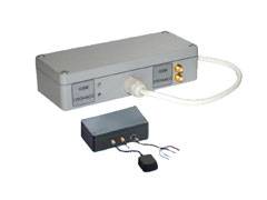
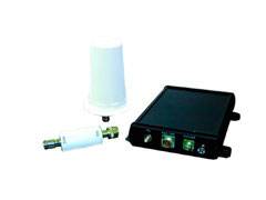
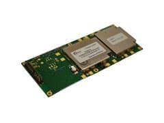
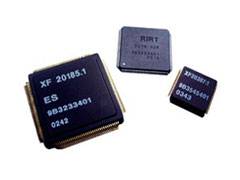
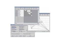
Geodetic equipment RIRV GKKS, SURVEY, SBS-363-01, etc.
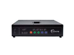
GKKS geodetic control and correction station equipment - provides maximum efficiency of static and dynamic surveys and can be used during geodetic works for high-precision determination of coordinates of points on the Earth's surface.
Satellite two-frequency geodetic equipment - works on the signals of global navigation satellite systems GLONASS and GPS and is designed to provide topogeodesic work, geological exploration, special construction and monitoring of the Earth's surface.
SBS-363-01 basic satellite navigation station - can be used to create geodetic base (reference) stations, to perform land surveying, prepare materials for entry into the land cadastre, as well as as a sensor for solving geomonitoring tasks of various objects, including for monitoring deformations of buildings and structures.
SBS-363-02 basic satellite navigation station is designed to receive and process GNSS GPS and GLONASS satellite navigation signals in two frequency bands using standard accuracy signals and transmit them to the consumer via the interface chosen by him in the Binary2006 format, as well as a navigation solution in the IEC 61162-1 format.
DOCUMENTATION- GKKS. A brief description.
- RESEARCH. A brief description.
- SBS-363-01. A brief description.
- SBS-363-02. A brief description.
- The equipment is A SURVEY. Description of the type of measuring instrument.
- Basic satellite navigation stations SBS-363-02. Description of the type of measuring instrument.
- Basic satellite navigation stations SBS-363-01 TSUI.461531.051. Description of the type of measuring instrument.
All RIRV products
About RIRV
-
development
RIRV designs, develops and manufactures electronic components and OEM modules of GLONASS, GPS, SBAS, various equipment for both personal and professional use. -
experience
The Institute has many years of experience in cooperation with the Ministry of Defense of the Russian Federation, the Aerospace Defense Forces and the Navy. -
application
The devices developed by RIRV are used in astronomy, shipping, in monitoring cargo and passenger transportation, in geodesy and cartography.
NEW TECHNOLOGIES GROUP
Contact us or your local dealer for more information on certifications, features, reviews, pricing, stock availability and delivery terms for RIRV products.
Reply guaranteed within 8 business hours
- (727)345-47-04
- (3955)60-70-56
- (8182)63-90-72
- (8512)99-46-04
- (3852)73-04-60
- (4722)40-23-64
- (4162)22-76-07
- (4832)59-03-52
- (8352)28-53-07
- (351)202-03-61
- (8202)49-02-64
- (3022)38-34-83
- (395)279-98-46
- (4932)77-34-06
- (3412)26-03-58
- (4012)72-03-81
- (4842)92-23-67
- (843)206-01-48
- (3842)65-04-62
- (4212)92-98-04
- (8332)68-02-04
- (4966)23-41-49
- (4942)77-07-48
- (861)203-40-90
- (391)204-63-61
- (3522)50-90-47
- (4712)77-13-04
- (4742)52-20-81
- (3519)55-03-13
- (375)257-127-884
- (495)268-04-70
- (8152)59-64-93
- (8552)20-53-41
- (831)429-08-12
- (3843)20-46-81
- (383)227-86-73
- (3496)41-32-12
- (3812)21-46-40
- (4862)44-53-42
- (3532)37-68-04
- (8412)22-31-16
- (342)205-81-47
- (8142)55-98-37
- (8112)59-10-37
- (863)308-18-15
- (4912)46-61-64
- (812)309-46-40
- (846)206-03-16
- (8342)22-96-24
- (845)249-38-78
- (8692)22-31-93
- (3652)67-13-56
- (4812)29-41-54
- (862)225-72-31
- (8652)20-65-13
- (3462)77-98-35
- (8212)25-95-17
- (4752)50-40-97
- (998)71-205-18-59
- (8482)63-91-07
- (3822)98-41-53
- (4872)33-79-87
- (4822)63-31-35
- (3452)66-21-18
- (347)229-48-12
- (3012)59-97-51
- (8422)24-23-59
- (8672)28-90-48
- (4922)49-43-18
- (423)249-28-31
- (844)278-03-48
- (8172)26-41-59
- (473)204-51-73
- (4112)23-90-97
- (4852)69-52-93
- (343)384-55-89
